
Build smarter solutions with Premium Data Collection and Data Annotation Services


Conclusion Geospatial Data Annotation has proven to be a fundamental element in the creation and maintenance of accurate and detailed maps. This technology enhances spatial data precision and enables comprehensive mapping solutions for various applications, from navigation and urban planning to disaster management and environmental monitoring.


Conclusion The Parcel Videos Data Collection Initiative is poised to revolutionize the logistics and e-commerce industries. With a holistic view of the parcel lifecycle and detailed annotations, AI systems can be better trained for automation, surveillance, and quality assurance, ensuring that each package reaches its destination safely and efficiently.(Parcel Videos Data Collection)


Conclusion The Remote Sensing Object Segmentation Dataset stands as a landmark contribution to the realm of geospatial analytics and environmental monitoring. By offering meticulously segmented high-resolution images from diverse terrains, the dataset promises to be a cornerstone for breakthroughs in satellite imagery analysis, aiding endeavors ranging from urban planning to environmental conservation.


Conclusion Through the meticulous collection and annotation processes, a robust Remote Sensing Object Segmentation dataset was successfully created. This dataset serves as a testament to our commitment to data accuracy, comprehensiveness, and relevance, making it a valuable resource for the remote sensing, geospatial, and machine learning communities. Researchers and practitioners can leverage this dataset to […]


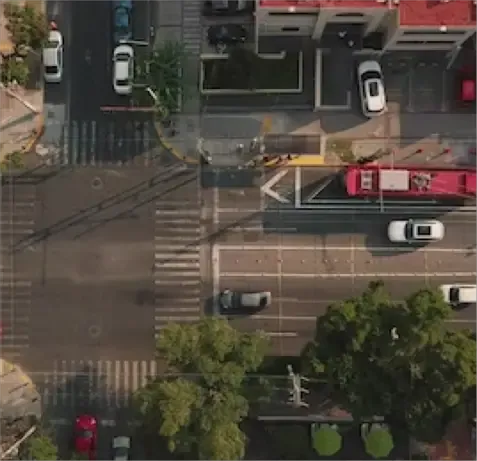
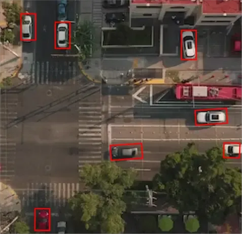
Conclusion The CCTV Traffic Scene Semantic Segmentation Dataset has been meticulously crafted to ensure high precision in every pixel. It offers a comprehensive view of various traffic scenes, ensuring versatility and depth for researchers and developers in the field of computer vision.
To get a detailed estimation of requirements please reach us.